 Scroll
About Lanzarote
Lava fields and white villages.
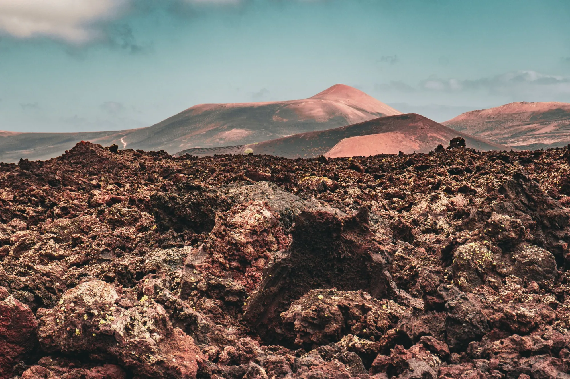
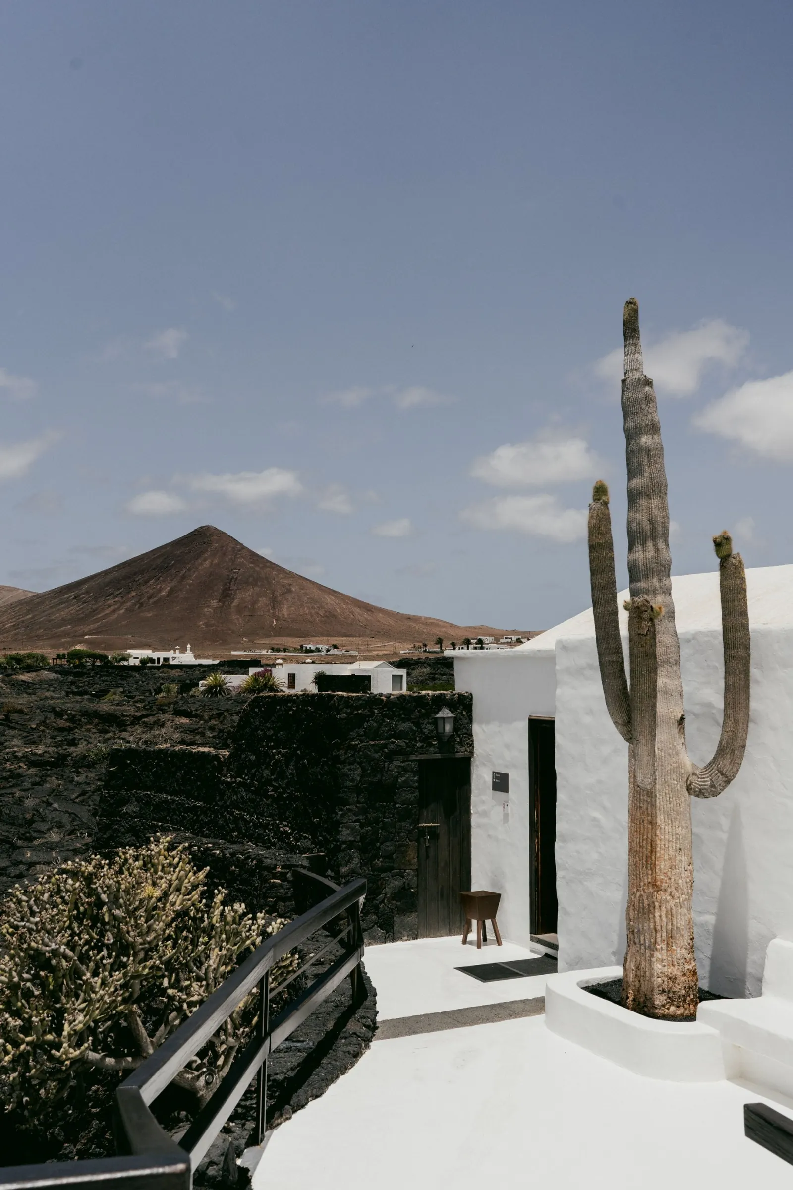
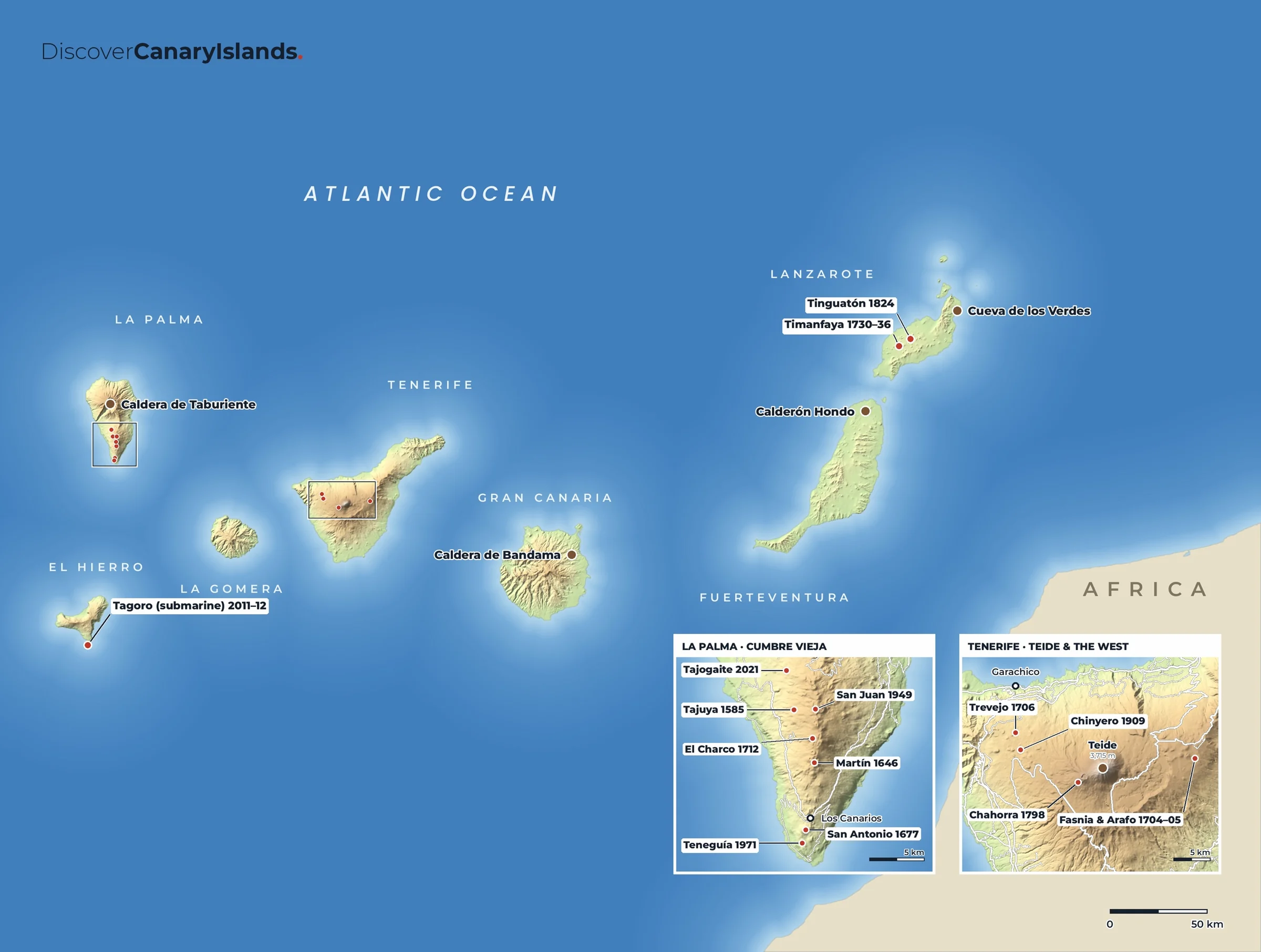
Lanzarote looks like nowhere else in Europe. Eruptions between 1730 and 1736 covered a quarter of the island in lava and left the Fire Mountains of Timanfaya. Farmers learned to grow vines in pits of black volcanic ash in La Geria, and the artist César Manrique shaped the island's look, with low white houses and works of art built into lava caves. The whole island is a UNESCO Biosphere Reserve.
Don't miss
The best of Lanzarote.
- Timanfaya National ParkThe Fire Mountains, seen on the coach route from Islote de Hilario or on a guided walk.
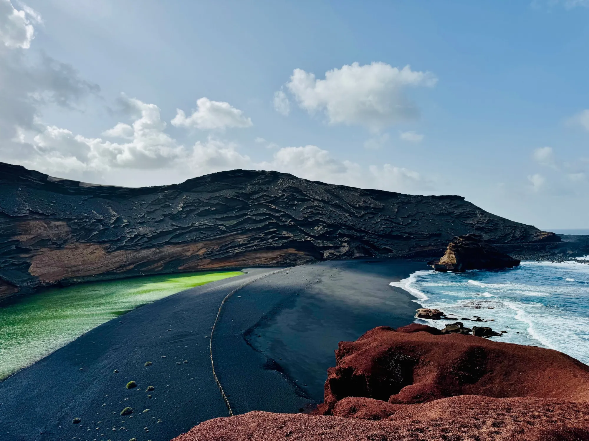
- El Golfo & Los HerviderosA green lagoon beside a black beach, and sea caves where the waves crash through the lava.
- La GeriaVines growing in hollows of black ash, and wineries where you can taste the local malvasía.
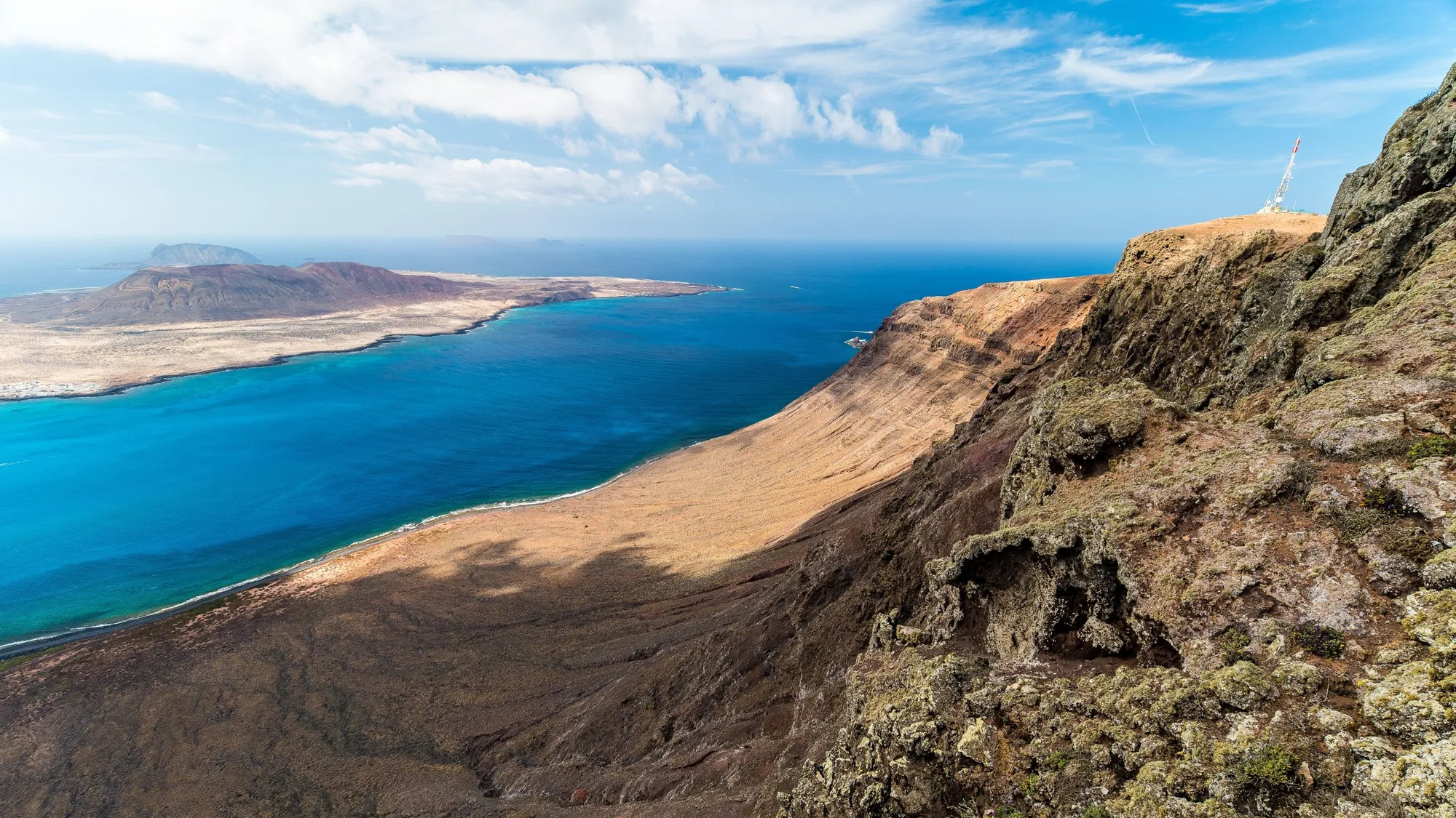
- The Manrique sitesJameos del Agua, the Jardín de Cactus, the Mirador del Río and the Fundación César Manrique.
- Cueva de los VerdesA guided walk through part of a long lava tube in the north of the island.
- Papagayo beachesSheltered coves of golden sand at the southern tip, a short drive from Playa Blanca.
Maps
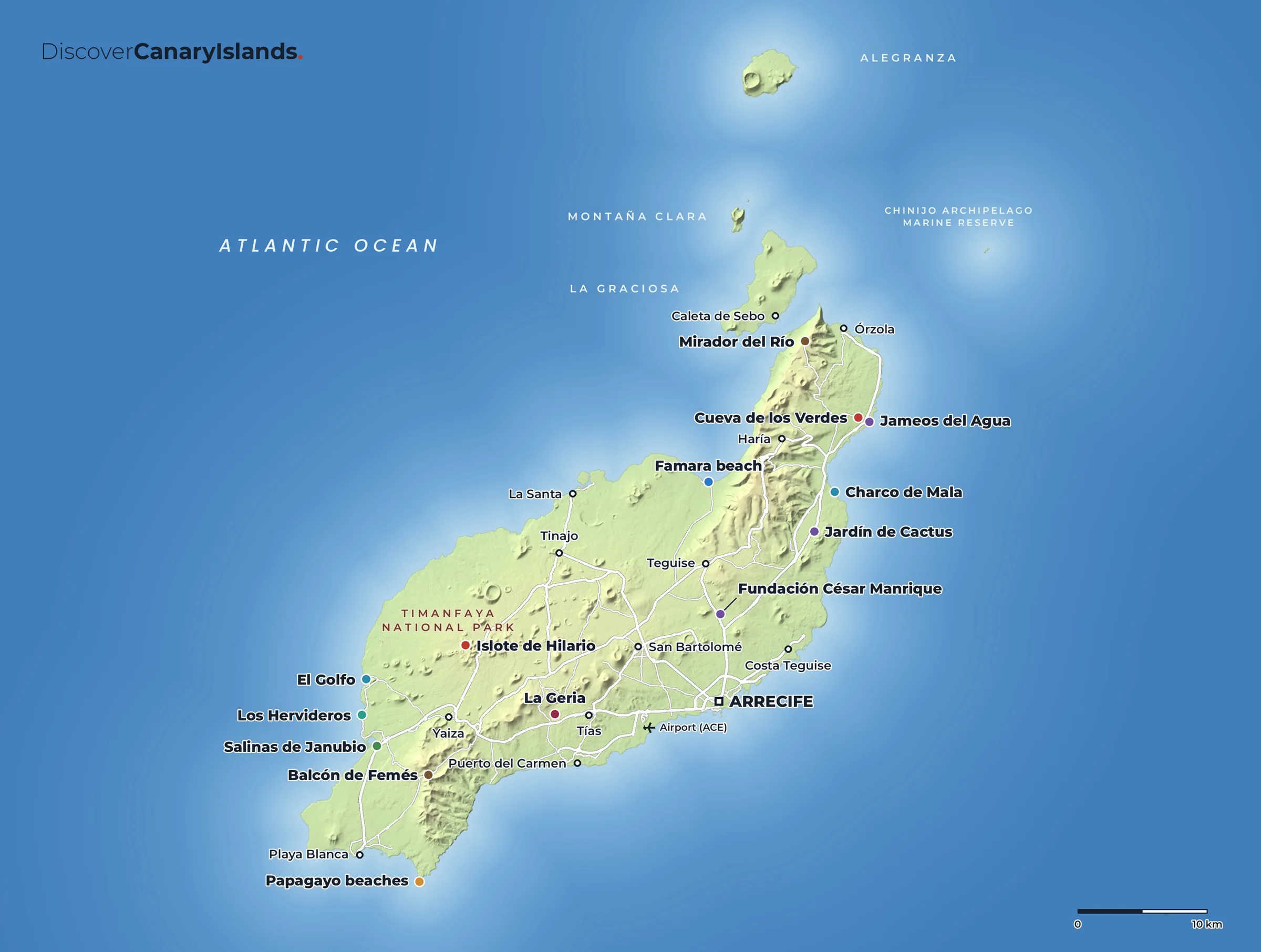
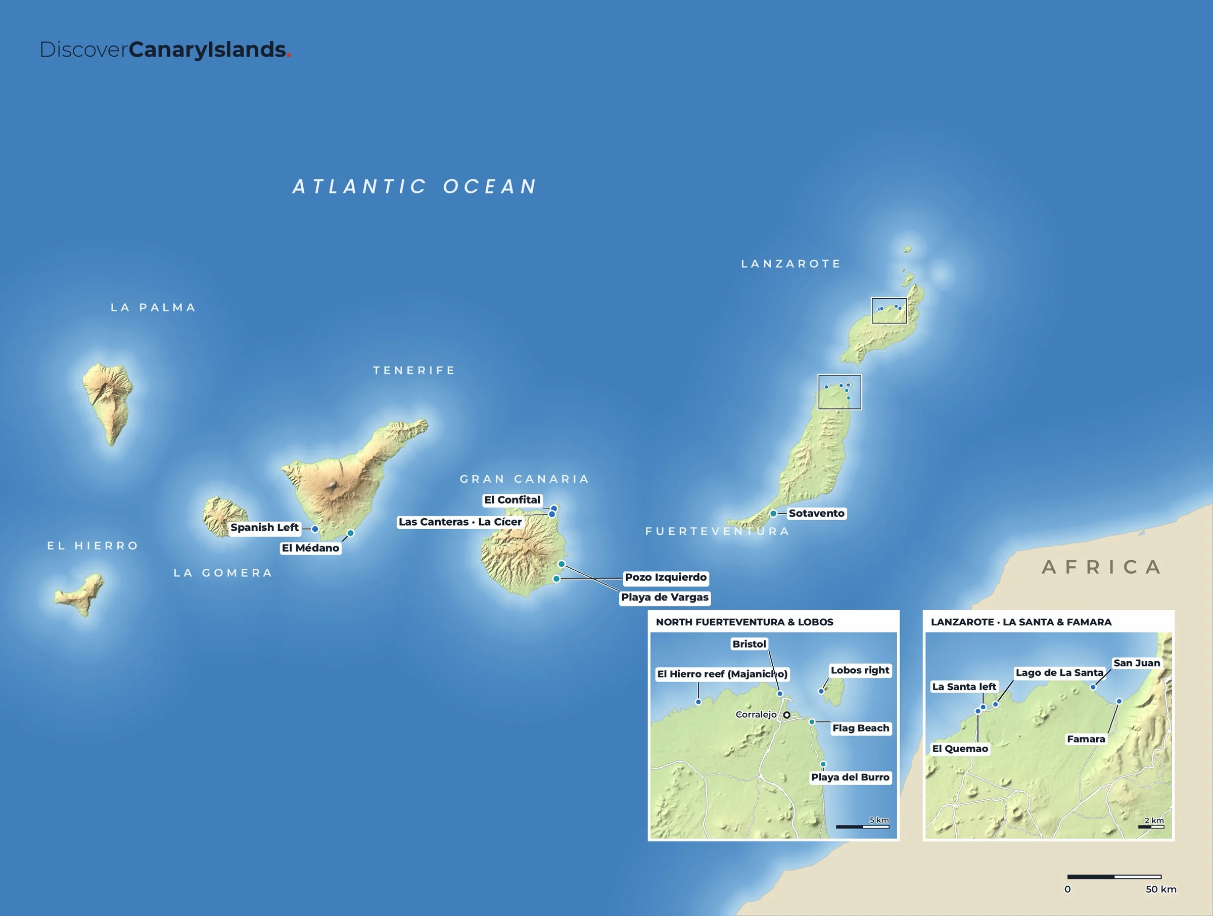
Lanzarote on the map.
Practical
Everything you need to know.
Getting there
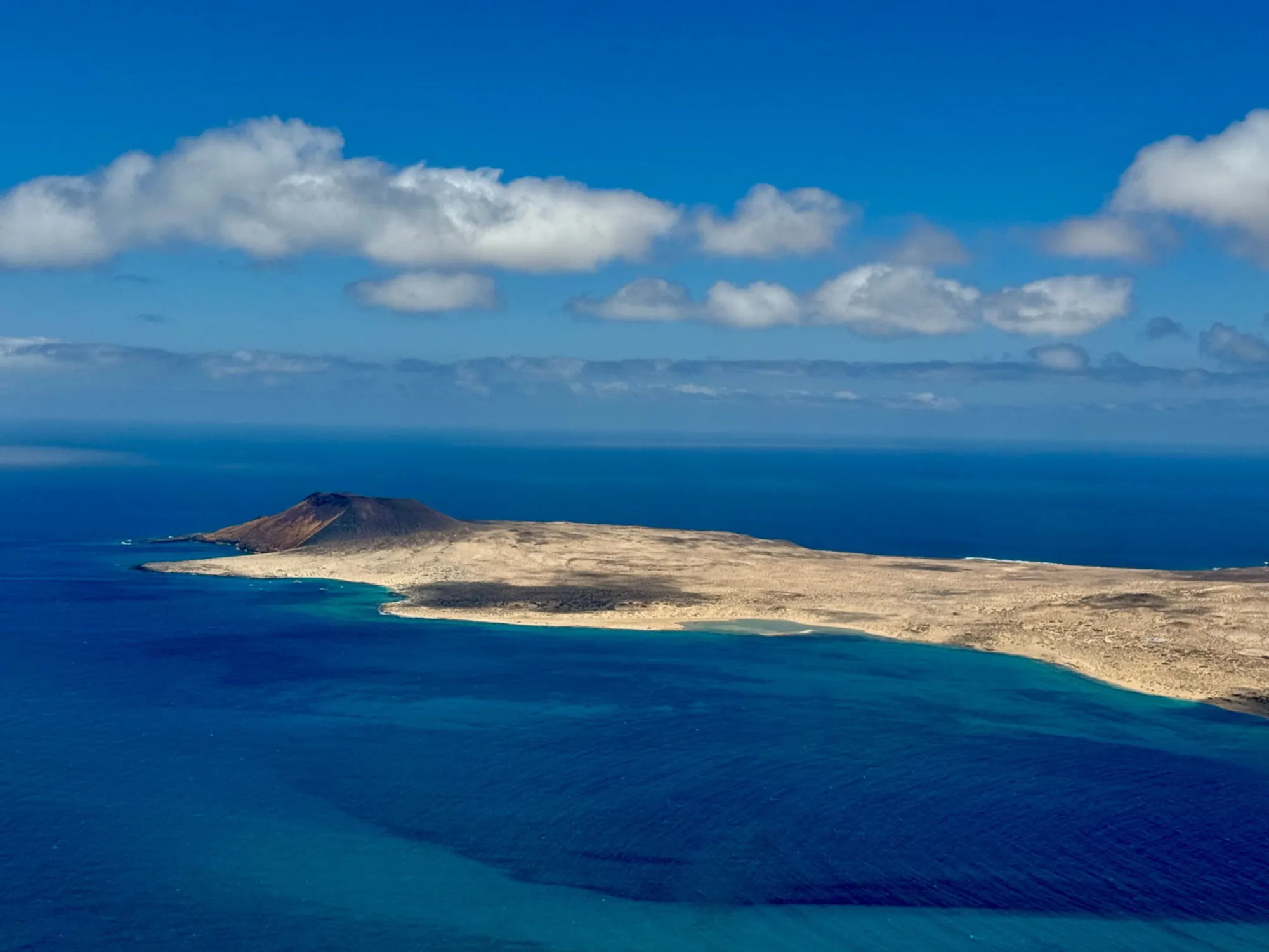
Lanzarote Airport (ACE) is just outside Arrecife. Ferries from Playa Blanca reach Corralejo on Fuerteventura in about half an hour, and the ferry from Órzola crosses to La Graciosa.
Getting around
A hire car is the easiest way to reach the volcano and the Manrique sites. Buses link Arrecife with the main resorts and towns.
When to go
All year. It rarely rains, and the trade winds keep summer pleasant. The north coast at Famara is windy, which the surfers love.
Where to stay
Puerto del Carmen, Playa Blanca or Costa Teguise for beaches, Haría or Yaiza for quiet villages, Famara for surfing.
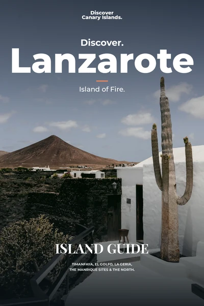
The island guide · Coming soon
Discover Lanzarote
Timanfaya, El Golfo, La Geria, the Manrique sites & the north. Leave your email and we will tell you the day it launches.